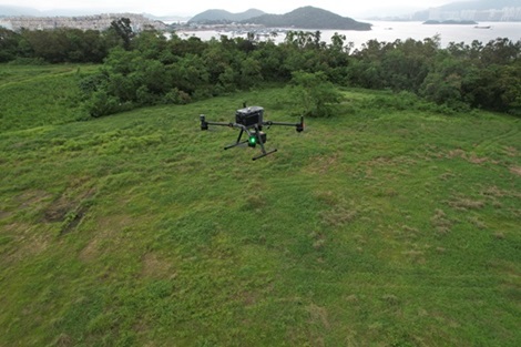
UAV Lidar
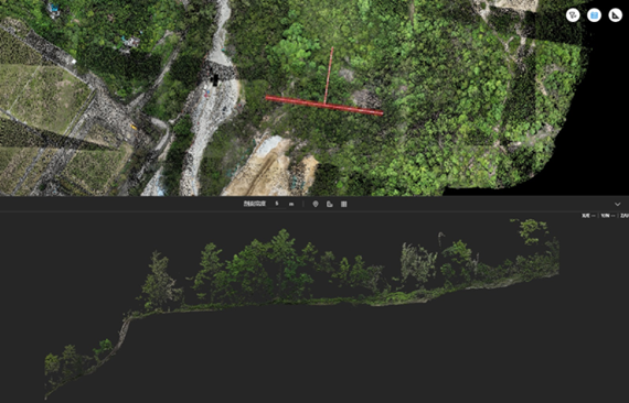
LiDAR equipment is installed on an aircraft or drone, which then flies over the survey area while emitting laser pulses towards the ground. The sensor measures the time it takes for the pulses to bounce back, creating a precise 3D map of the terrain.


