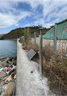
Settlement and Deformation Monitoring System
Product Introductions
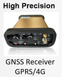
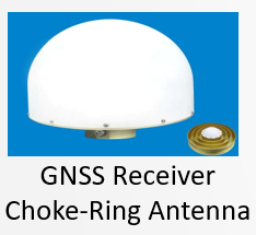
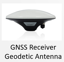
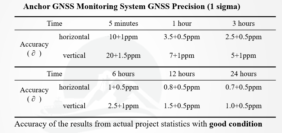
Settlement and Deformation Monitoring System typically use multi satellite and multi frequency GNSS modules such as Beidou and GPS, which can achieve single system positioning or joint RTK positioning, improving the precision and reliability of positioning.
The rich functions can fully meet the construction of national land disaster monitoring, mining tailings pond monitoring, open-pit mine slope monitoring, water conservancy high slope monitoring, railway slope/bridge/roadbed monitoring, highway slope/bridge/roadbed monitoring, and national power grid tower displacement monitoring.
![]()
