Urban Geological Information Service Platform
1 Introduction
The urban geological information service system takes the construction of geological professional application-oriented geographic information system as the main line, and realizes the data management and achievement display based on the three-dimensional urban geological structure.
2 Big Data Dashboard
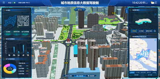
The big data dashboard provides rich data display and monitoring functions, which can present the overall situation of the entire area, three-dimensional GIS scene maps, statistical data on geological drill holes, underground space volume statistics, address module display, and the spatial distribution of geological exploration elements.

3 Panoramic Geological Sand Table
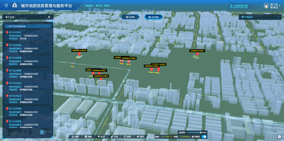
The panoramic geological sand table module can display different geological thematic layers, and allow users to intuitively understand the distribution of each thematic layer by integrating it with the 3D scene model.

4 Ground Profile Analysis
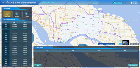
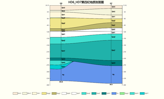
The ground profile analysis module displays various types of borehole information in list form, and combines image maps and two-dimensional GIS maps to allow users to more intuitively understand the spatial distribution of boreholes. At the same time, it supports the generation of geological cross-section maps to understand the geological composition of each layer.


