Smart Pipeline Network Platform
1 Introduction
By creating a three-dimensional digital simulation model of the pipeline network data, we connect the processes of on-site data collection, back-end data storage, and terminal data application. This enables intelligent, visualized, and refined management of pipeline network data, providing a powerful decision-support tool for maintenance, planning, upkeep, and repair work related to the pipeline network.

2 Platform Features
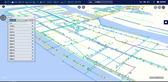
By introducing 3D GIS technology, effective management of the basic data for the pipeline network and its auxiliary facilities is achieved, including integrated visual management of geographical data and operational data. At the same time, it supports daily management tasks such as inspections and maintenance. By combining GIS with the Internet of Things (IoT), real-time monitoring of pipeline flow, water quality, and other data is conducted, enabling remote control of critical equipment. Additionally, an embedded GIS spatial analysis module allows for spatial analysis and simulation predictions by overlaying geographical data, providing decision support for drainage emergencies and scheduling management.
3 A Single Map of Pipeline Networks
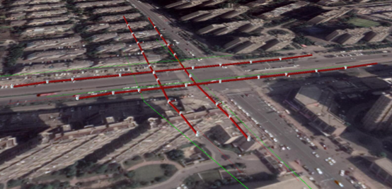
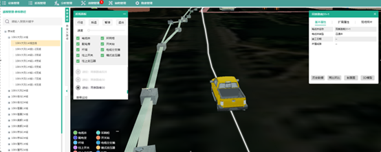
The system supports both GIS and BIM functionalities. The GIS feature allows for the display of pipeline layouts on the map, with the ability to switch between remote sensing image mode and map mode, accurately identifying pipeline location information. The BIM functionality enables users to measure various distances and manipulate the view, while hovering the mouse over a 3D pipeline model will bring up detailed information. All pipeline information is presented in a list format, supporting keyword or area-based searches, and when a specific item is selected, the view automatically shifts to the corresponding 3D location.

4 Pipeline Topological Analysis
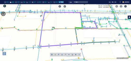
The system can perform connectivity analysis of the pipeline network to determine the connection relationships between pipelines. By conducting neighborhood analysis on the geographical spatial data surrounding the pipelines, it can identify the environmental conditions around the pipelines, including surrounding features, topography, soil, and other factors.

5 Pipeline Inspection Management
The module is primarily used to support pipeline inspection tasks and facilitate collaboration with mobile applications. In this module, the locations of each inspection point can be displayed in map form, allowing users to view the associated inspection history records.


