Ground Penetration Radar(GPR) Survey
Product Introductions
Before urban construction planning and infrastructure projects are launched, it is necessary to conduct engineering geological survey work on the target area. The purpose is to identify the engineering geological conditions, analyze the existing geological problems, make engineering geological evaluations of the target area, and provide reliable geological basis for the planning, design, construction, and operation of the project, in order to ensure the safety, stability, economic rationality, and normal use of the engineering buildings.
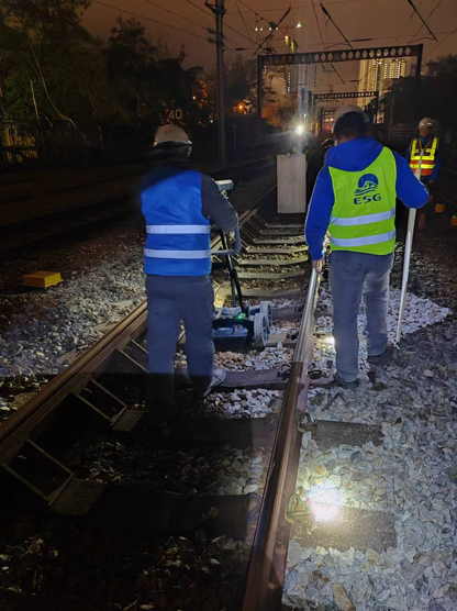
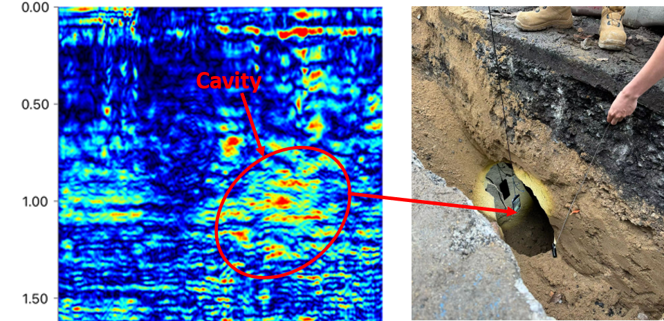
GPR (Ground Penetration Radar) combined with low-frequency antennas is an efficient, high-resolution, and easy-to-use method for shallow engineering geological exploration.
Applications
1.Exploring underground relics, tombs, and buildings
2.Determine soil structure, search for groundwater sources and mineral deposits
3.Check the structural health of roads, bridges, and tunnels