
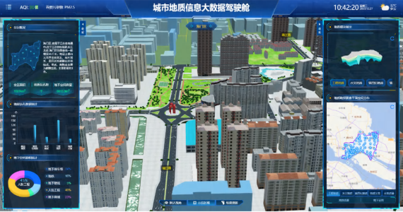
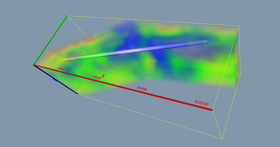
Digital Geology Platform
Digital Geology platform is guided by the actual needs of urban address surveys, with the aim of serving social and economic sustainable development. It revolves around urban development planning, based on existing data and achievements, fully integrates cutting-edge technologies such as 3DGIS, BIM, and the Internet of Things, and provides a standardized, comprehensive, and information-based computer basic work platform for professional technicians and managers.
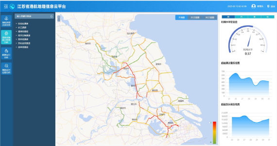
Port and Shipping Geographic Information Platform
This product can improve the management capability of port and shipping infrastructure and achieve digital management of infrastructure. Enable users to conveniently and quickly query and locate the spatial distribution of port and shipping equipment and facilities, and easily achieve systematic management of various data on increasingly complex port and shipping facilities.
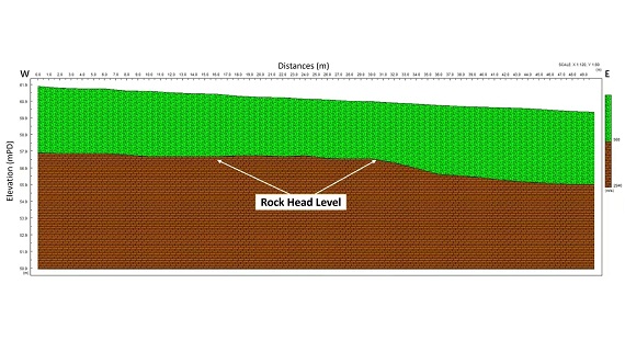
Seismic Refraction
In engineering seismic exploration, seismic refraction wave method is a simple and economical exploration method that determines the subsurface velocity structure.
Microtremor Survey (Passive MASW)
Multichannel Analysis of Surface Waves (MASW) method is applied to measure the shear wave velocity in shallow layers underground. Microtremor is Passive MASW method, which possesses strong anti-interference ability and flexibility.
Active MASW
Active MASW is one conventional MASW Method, which can measure the shear wave velocity in shallow layers underground.
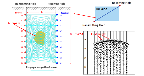
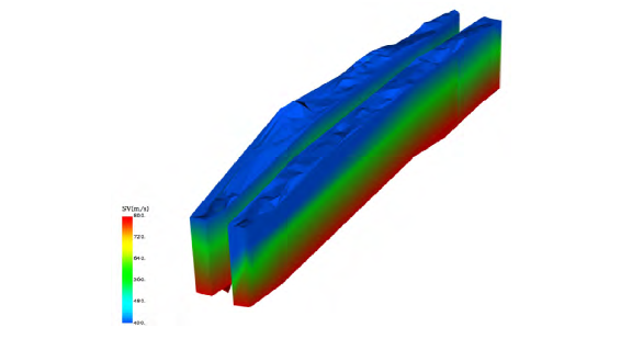
Cross-hole Seismic
Cross-hole Seismic is a well seismic technology that involves placing a seismic source inside one well, exciting seismic waves, receiving them with detectors in another well, and using the recorded seismic data for a comprehensive set of processing to obtain a geological profile between wells.