Smart Irrigation District Platform
1 Introduction
The Smart Irrigation District Management Platform aims to enhance the automation and precision of water management in irrigation projects and improve the regulation of water resources. Centered around a digital irrigation district, the platform integrates information infrastructure and hydraulic equipment with big data, remote control, and effective information collection systems to construct a comprehensive water management system for irrigation districts. By acquiring and analyzing hydraulic information, the platform optimizes water resource allocation and enhances supervision levels.
2 Platform Features
The Smart Irrigation District Management Platform uses 3D visualization technology to enable intuitive management and water flow control. It integrates smart devices for real-time monitoring, consolidates various resources, offers a convenient user experience, and enhances efficiency through collaborative management, creating a robust data platform for the construction and maintenance of irrigation districts.
3 Scene sandbox
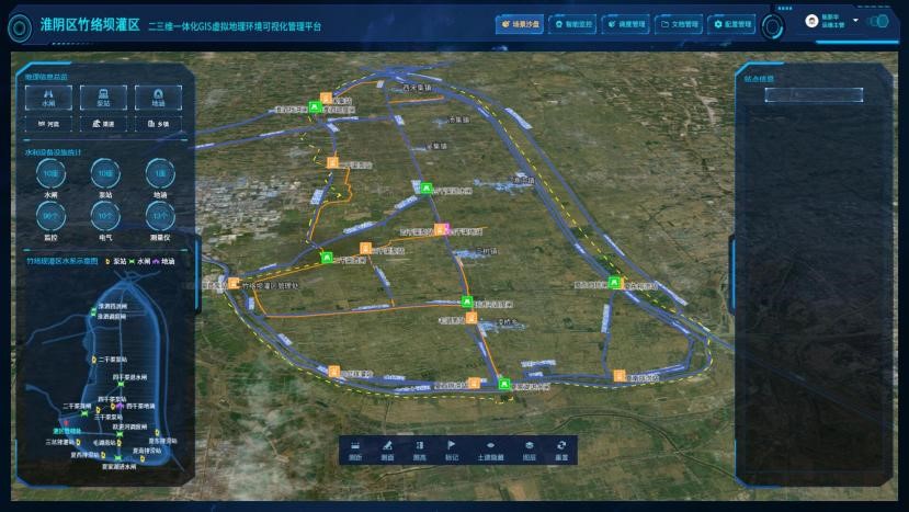
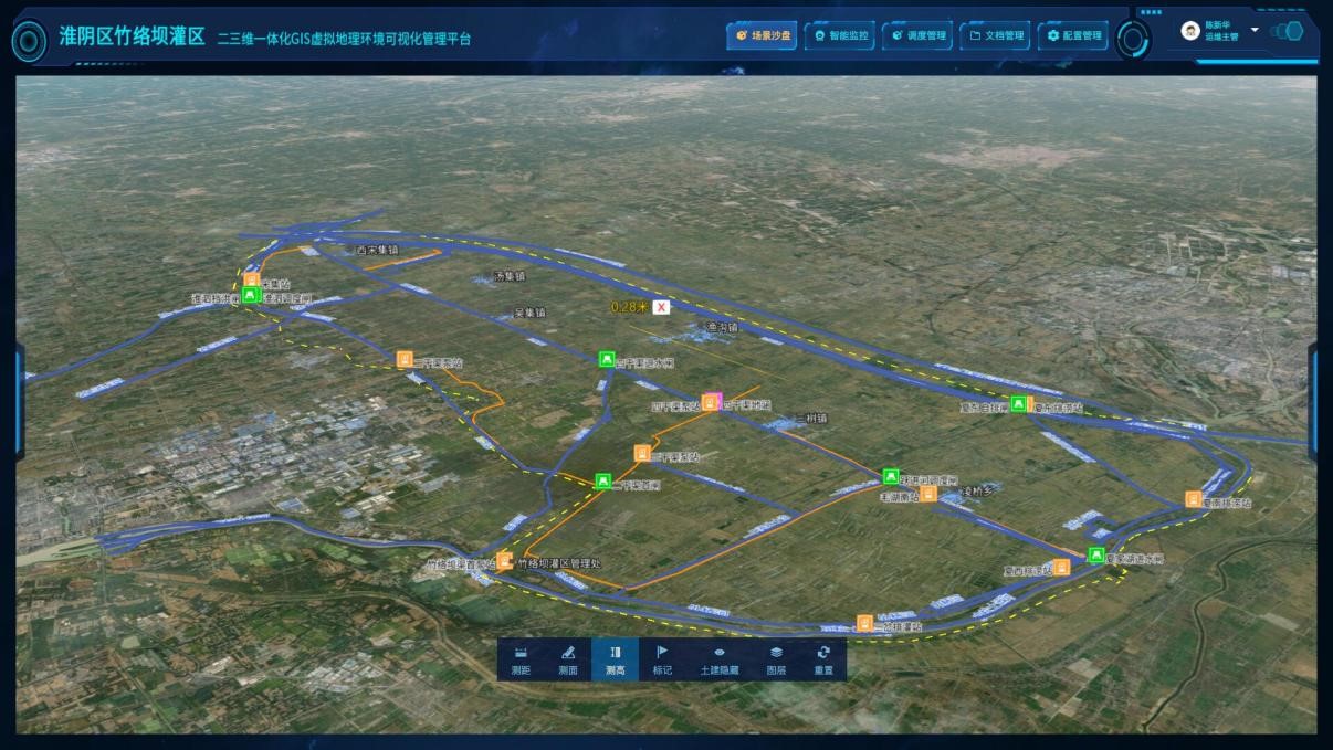
After logging into the system, managers can access the scene sandbox module to view geographic information, water equipment statistics, irrigation district schematics, and a 2D GIS map. The sandbox allows viewing of various structures and elements, with scrolling enabled for browsing. The 2D GIS map supports zooming, rotating, dragging, and includes tools for measuring distance and area.
4 Smart monitoring
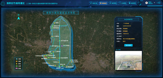
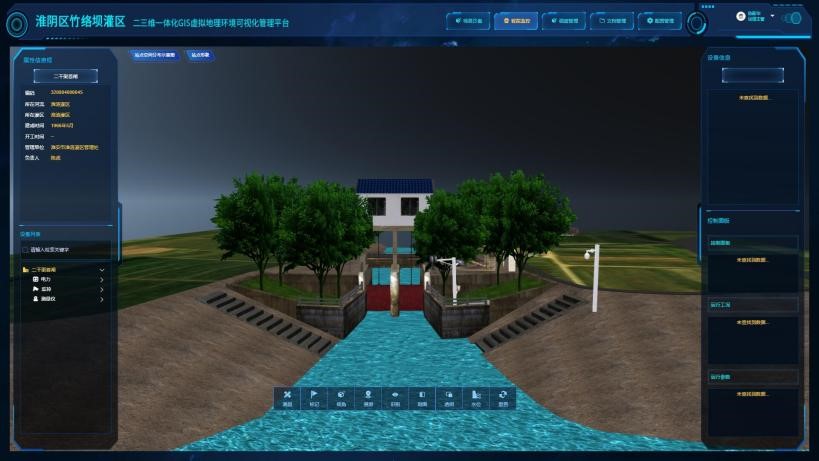
The smart monitoring module visualizes station and equipment information in the irrigation district and supports device control. Clicking on a station name allows viewing of detailed information and images. In the operation interface, features like the attribute info box, equipment list, and 3D visualization model are available. Managers can locate and view devices, and operate them using the control panel. They can also measure, mark, and switch views on the 3D model using the action buttons.
5 Dispatch management
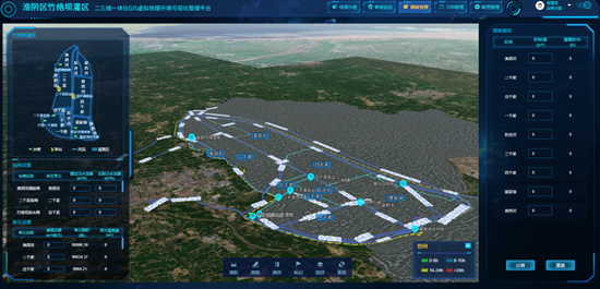
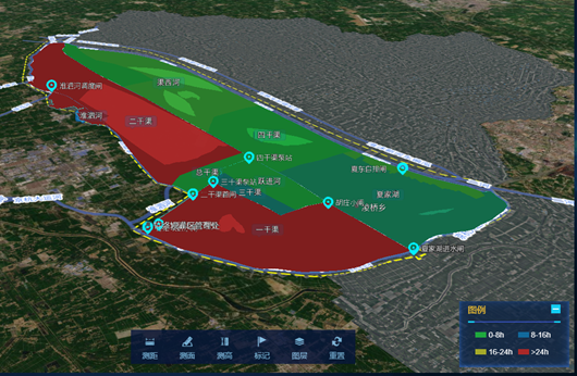
The dispatch management module uses a 3D GIS map to manage water distribution in the irrigation district, determining irrigation plans by calculating quotas and areas. The plan view displays the distribution of various facilities, and users can click to view detailed information. Managers can set the gate flow rates and unit irrigation data, with the system calculating irrigation duration based on the set values, visually represented by different colors. The module's toolbar provides functions such as distance measurement, area measurement, and marking.
