Smart Port Platform
1 Introduction
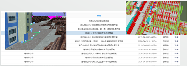
The smart port area platform utilizes technologies such as the Internet of Things, cloud computing, and big data to create an integrated platform for port area supervision, security, production management, and automated loading and unloading. The platform enables intelligent port services, real-time monitoring of production, automation of terminal operations, and information visualization, thereby enhancing management decision-making and collaborative work.
2 Platform Features
The smart port area platform utilizes modern information network technologies for comprehensive transformation of the port area, enhancing resource allocation capabilities, security assurance capabilities, and intelligent interaction capabilities. By relying on digital twin technology, it promotes the development of the port area towards intelligent operation and maintenance management.
3 Multi-Port One Map Management Model
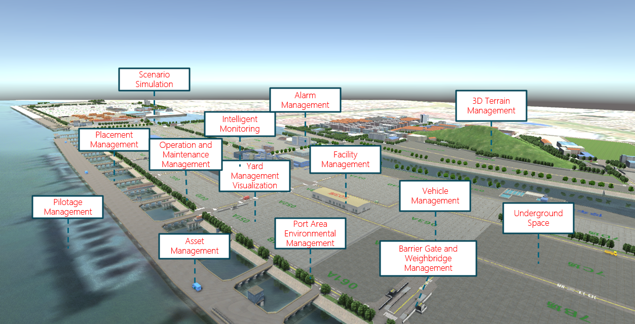
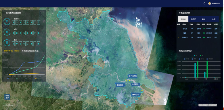
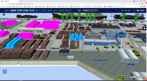
The multi-port one map management model is a comprehensive port management solution that creates a three-dimensional electronic sandbox for all-encompassing visual representation. This model supports real-time positioning and dynamic adjustments, seamlessly transitioning between macro and micro levels, enabling better management of various resources and information within the port area. By integrating different data sources, this system provides comprehensive port monitoring and decision-making support, enhancing resource allocation and security assurance capabilities.
4 Port Area Environmental Monitoring
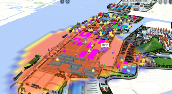
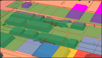
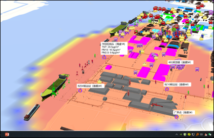
The platform supports the analysis and visualization of environmental monitoring data for the port area. It employs various visualization methods such as heatmaps, point thematic maps, and color block diagrams to visually display the spatial distribution of monitoring indicators like dust and noise levels.
5 Port Asset Analysis and Management
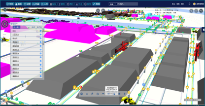
The platform supports the digital twin modeling of various above-ground and underground assets in the port area (including various pipelines) and imports them into a 3D GIS environment for visualization analysis, retrieval, querying, and location management.
6 Simulation-Assisted Analysis Tools
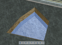
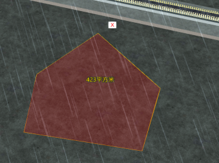
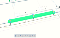
The port simulation-assisted analysis tools offer a diverse range of three-dimensional spatial analysis functions, allowing managers to perform various auxiliary analyses such as excavation, measurement, marking, and scenario simulations within a highly realistic virtual sandbox.
