3D Geological Modeling and Visualization System
1 Introduction
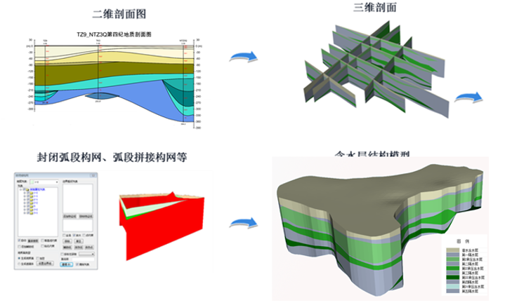
The 3D geological modeling and visualization system can dynamically construct three-dimensional geological models of urban areas using geological exploration borehole data. This system allows for the three-dimensional modeling and visualization management of geological information, effectively showcasing the spatial characteristics and attributes of the urban geological environment through the coupled modeling of hydrogeological elements.
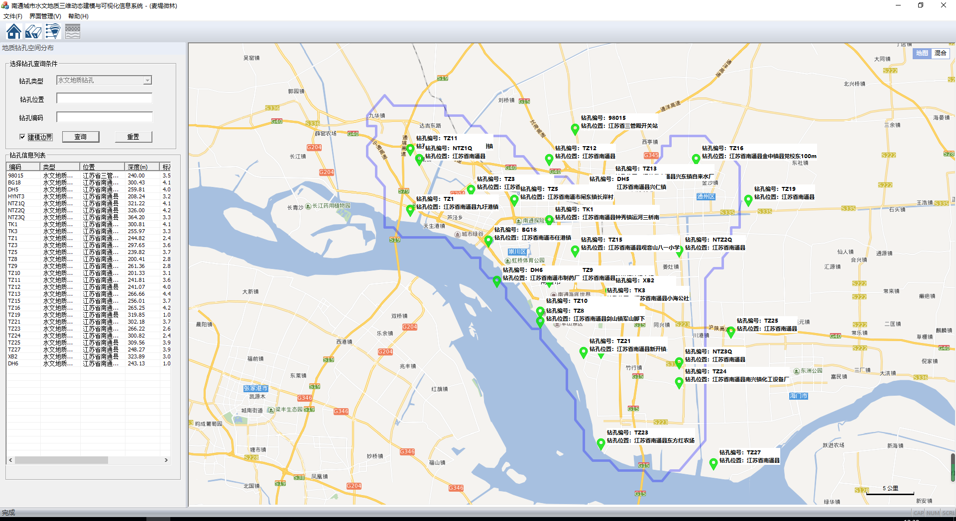
2 Urban Geological Borehole 3D Modeling
This module is based on standardized borehole card data and utilizes a three-dimensional address borehole dynamic construction and underlying recognition algorithm to dynamically generate the three-dimensional spatial distribution model of the boreholes.
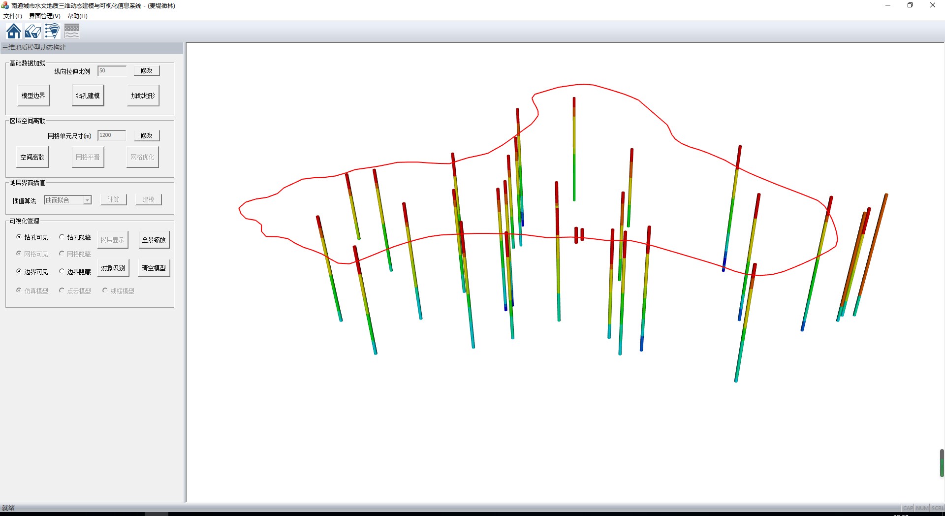
3 Dynamic Construction of 3D Geological Models
The product generates a three-dimensional structure and attribute model of geological bodies based on borehole data, utilizing spatial interpolation algorithms. This model employs standardized graphic symbols to visually represent the attributes of the geological layers.
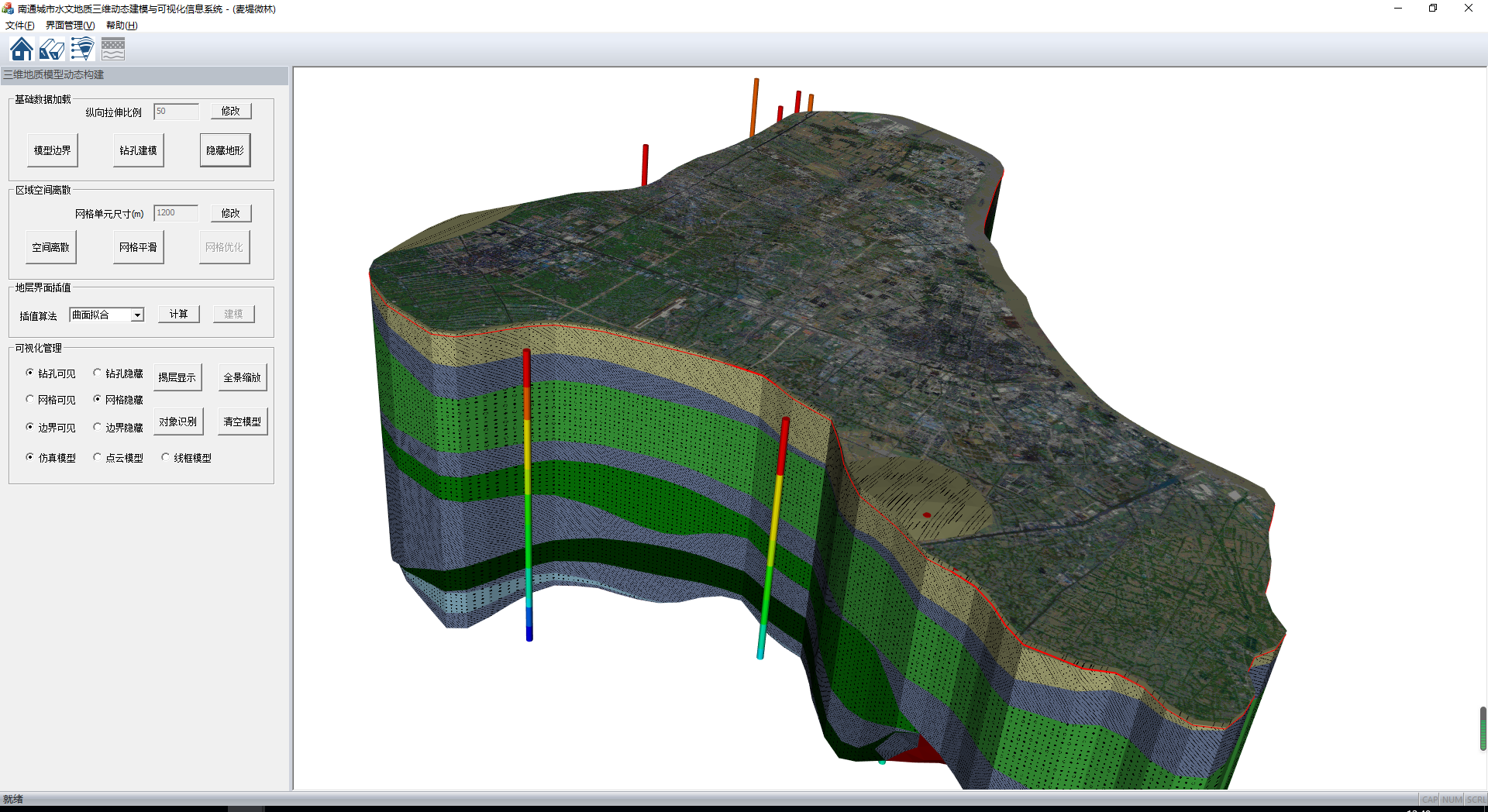
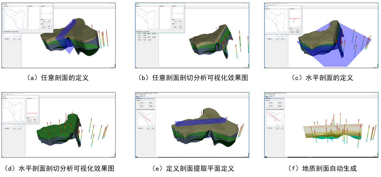
4 3D Geological Model Analysis and Operations
Perform extraction and analysis of various cross-sections on the completed modeling to achieve coupled modeling and three-dimensional expression of different geological elements within a real 3D geological environment.
