3D Visualization Management Platform for Navigation Engineering
1 Introduction
The navigation engineering management platform provides an efficient three-dimensional visualization management system that primarily addresses the issues of design data exchange and sharing. It supports data management and online browsing for mainstream BIM platforms. Additionally, by integrating GIS and BIM technologies, it enables three-dimensional visualization and digital management of navigation projects.
2 Project Overview
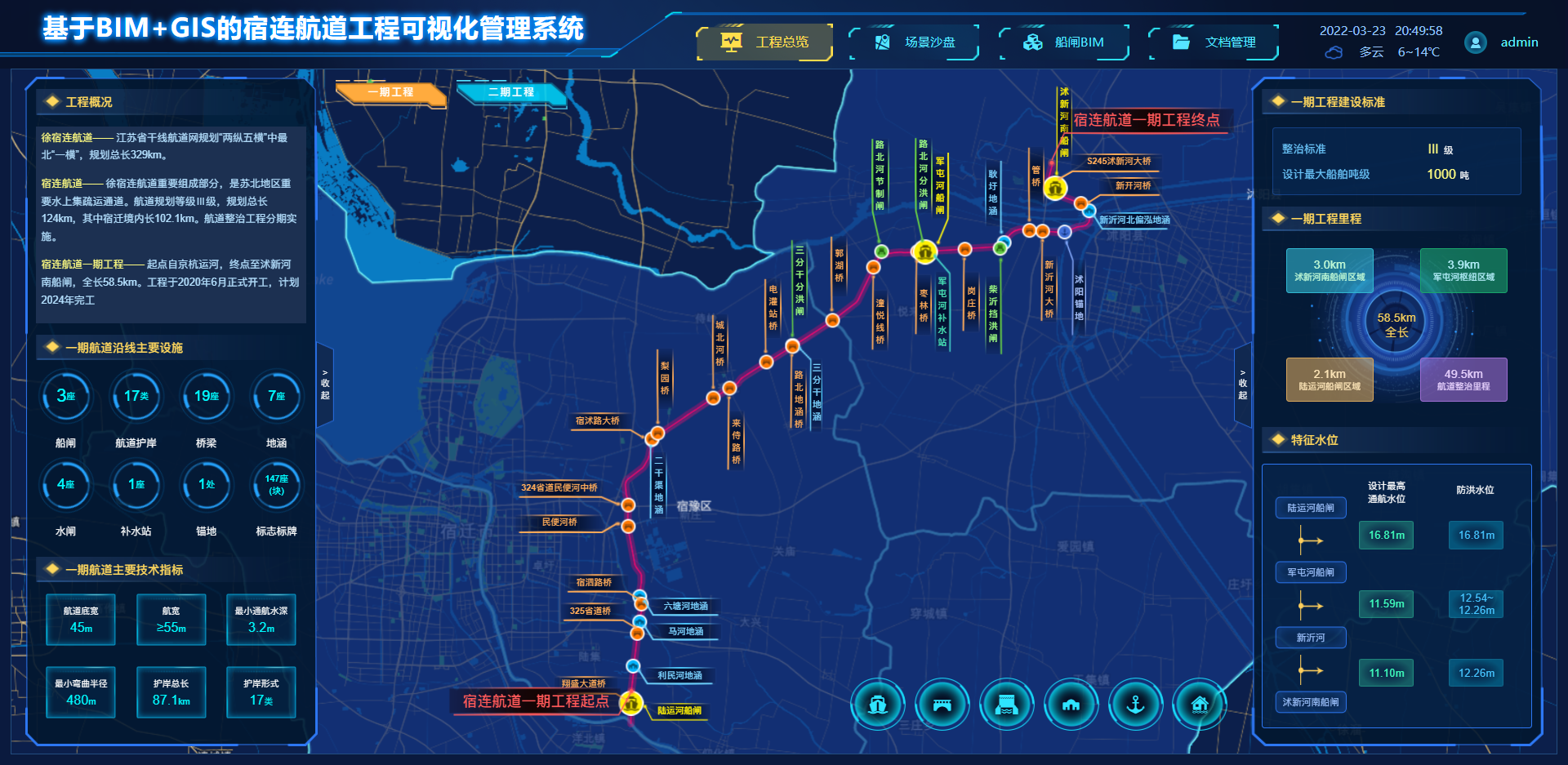
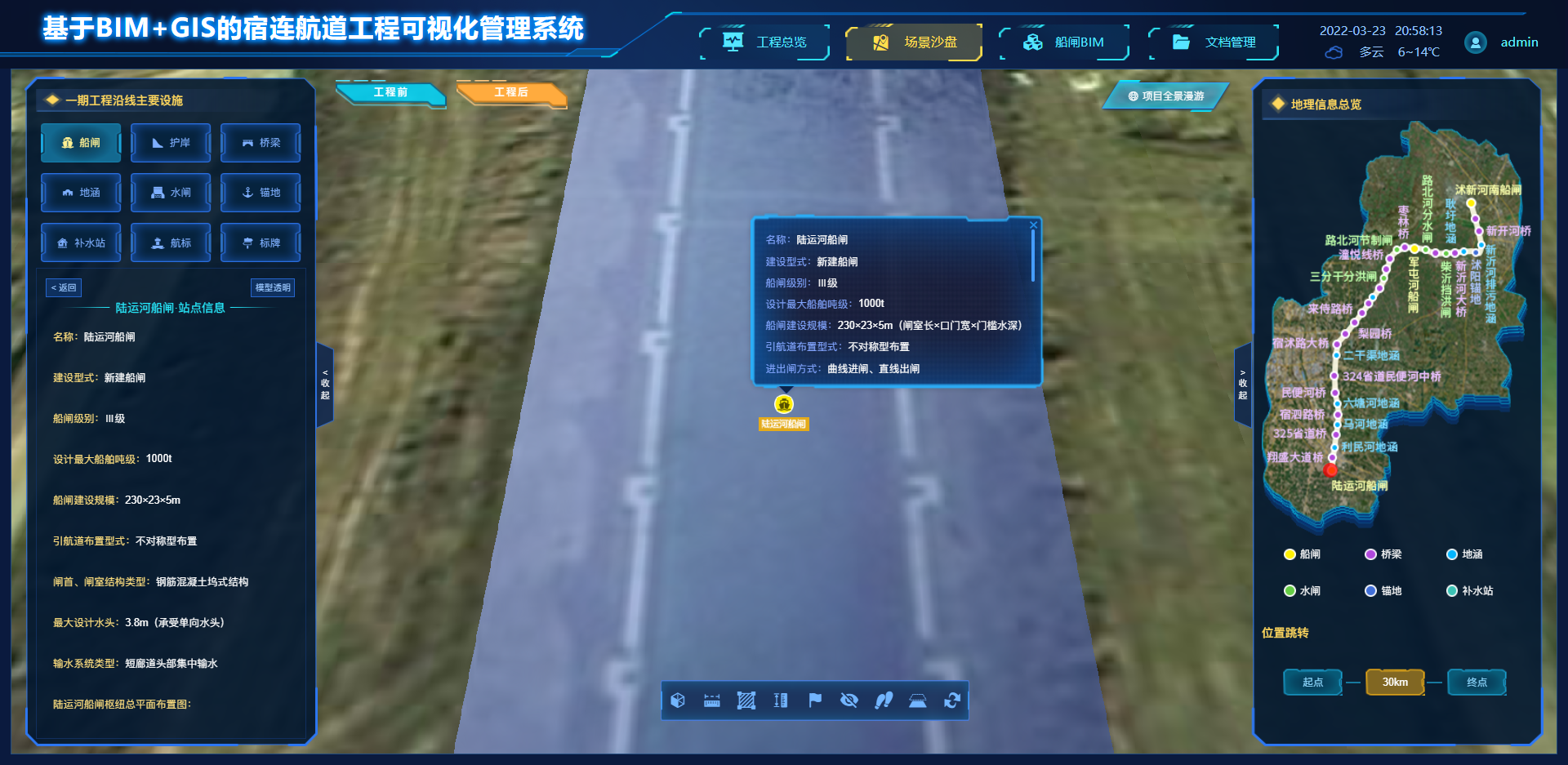
Utilizing GIS technology, the platform allows for the presentation and management of the spatial distribution of navigation projects. It enables spatial feature querying, management, and visualization based on geographic maps, providing an intuitive reflection of the spatial distribution characteristics of navigation projects and their associated facilities.
3 Three-Dimensional Scene Sandbox
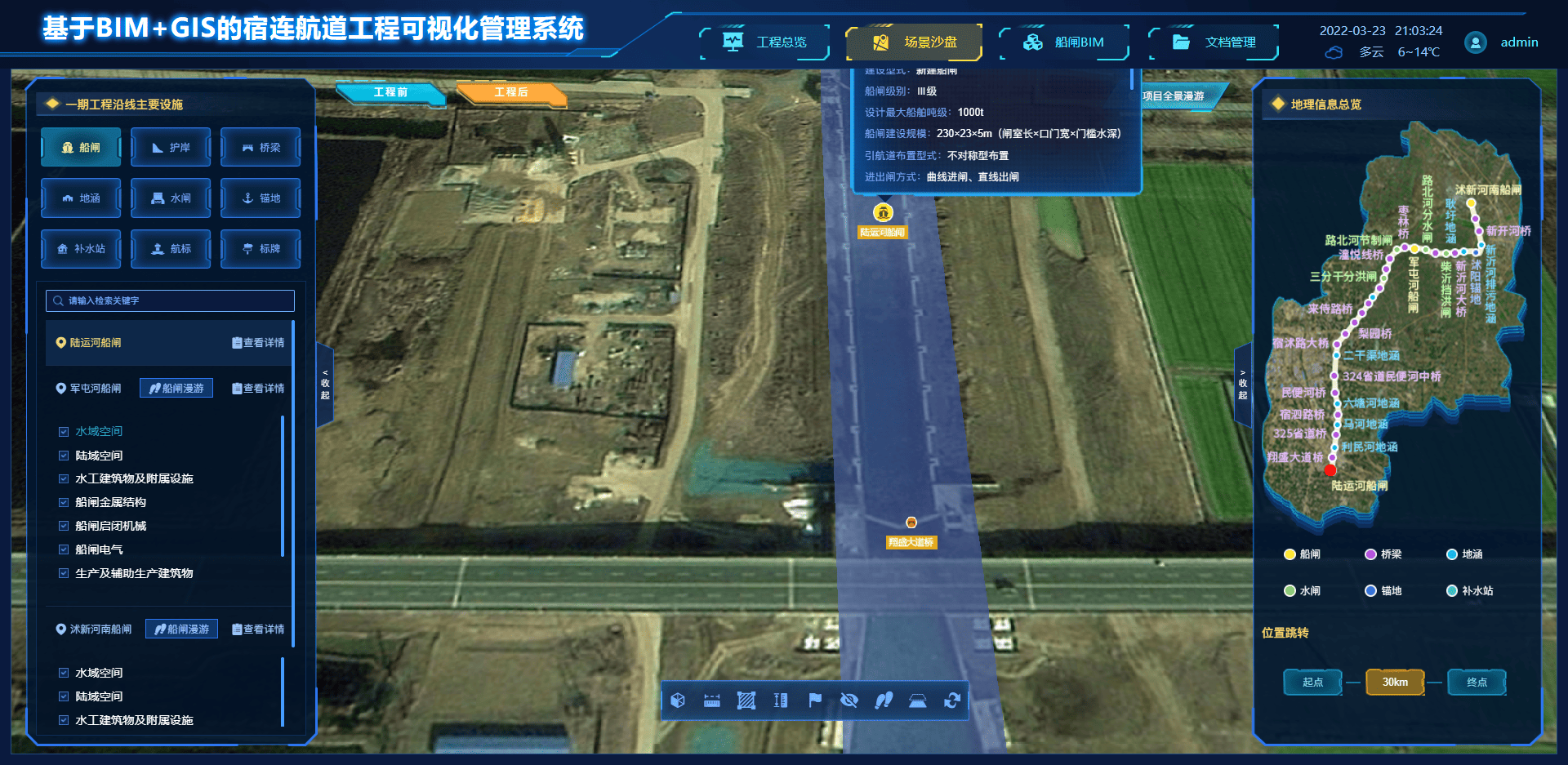
The platform constructs a regional three-dimensional geographical scene sandbox and overlays a 1:1 scale three-dimensional simulation model to intuitively display the three-dimensional structural features of navigation projects. It also provides a variety of three-dimensional spatial analysis tools, such as perspective switching, data retrieval, marking, and measurement functions.
4 Loading and Application of Navigation BIM Model Data
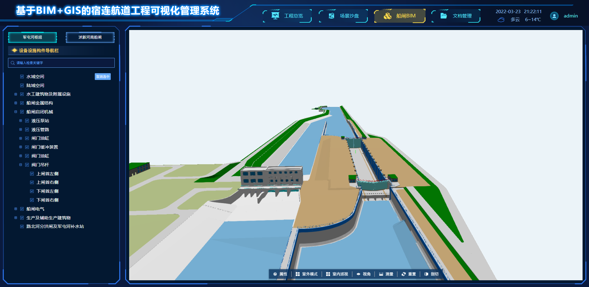
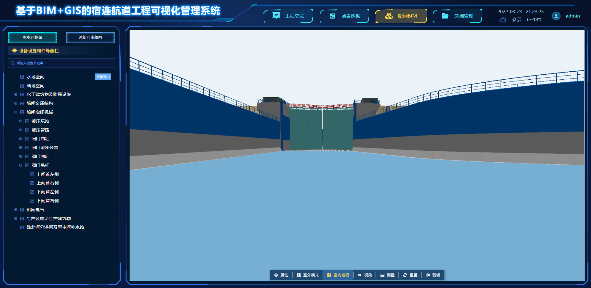
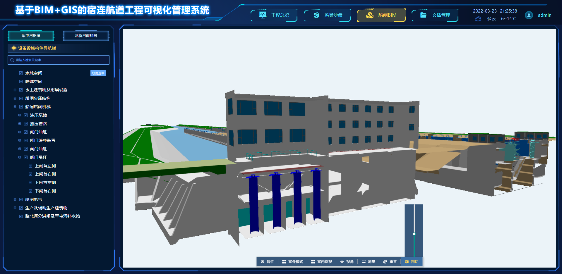
The platform supports loading various formats of BIM data models for online browsing and operation. It can automatically recognize the component hierarchy structure of the BIM model and provides node selection and editing capabilities. Additionally, the product is equipped with a series of interactive tools, such as zooming, displaying and hiding, transparency control, and section display, to better showcase the internal and external three-dimensional structural features of navigation projects.
