
USM
Mounting System

Coda F185+
GNSS Aided
IMU
IMU
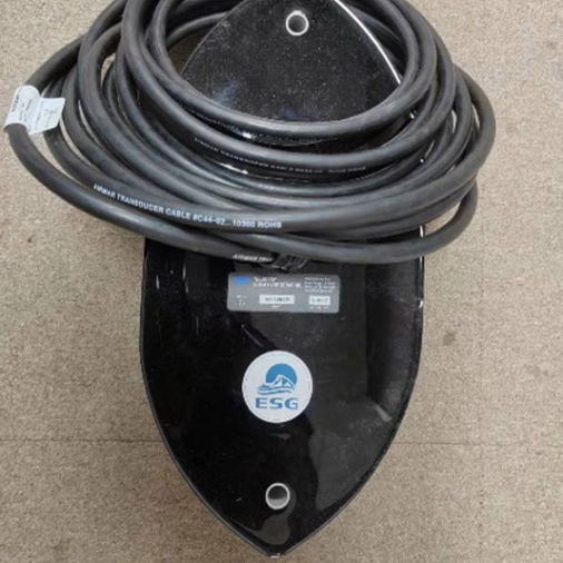
Teledyne EchoTrac
E20 Singlebeam
