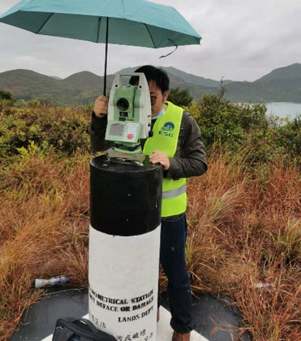
Geodetic Survey
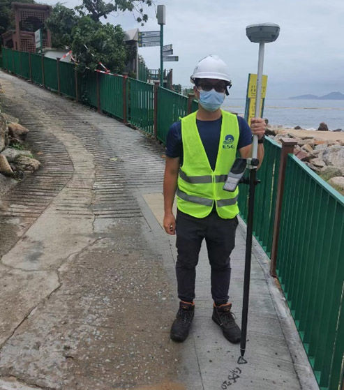
GNSS
RTK
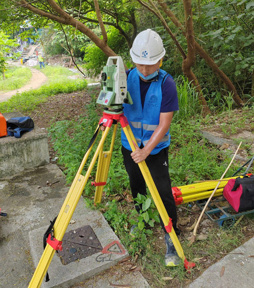
As Built/Setting Out

Land Survey
Our land survey team provides support on engineering survey which goes through the whole engineering project, participating in investigation, planning, design, construction, operation and maintenance works. Our surveyors will design the best surveying scheme according to the requirements of each project and deploy suitable surveying instruments and techniques to complete each surveying task.
Our services include but not limited to Topographic Surveying, Geodetic Surveying, Hydrographic Surveying, Photogrammetry, Digital Mapping and Cartography, and Utility Surveying. If you have an interest or any enquiry, please feel free to contact us by email: enquiry@esg-hk.com for proposal and quotation.